Project information
- Category: Python
- Project date: Summer, 2022
- Tool Used: ArcMap, Python
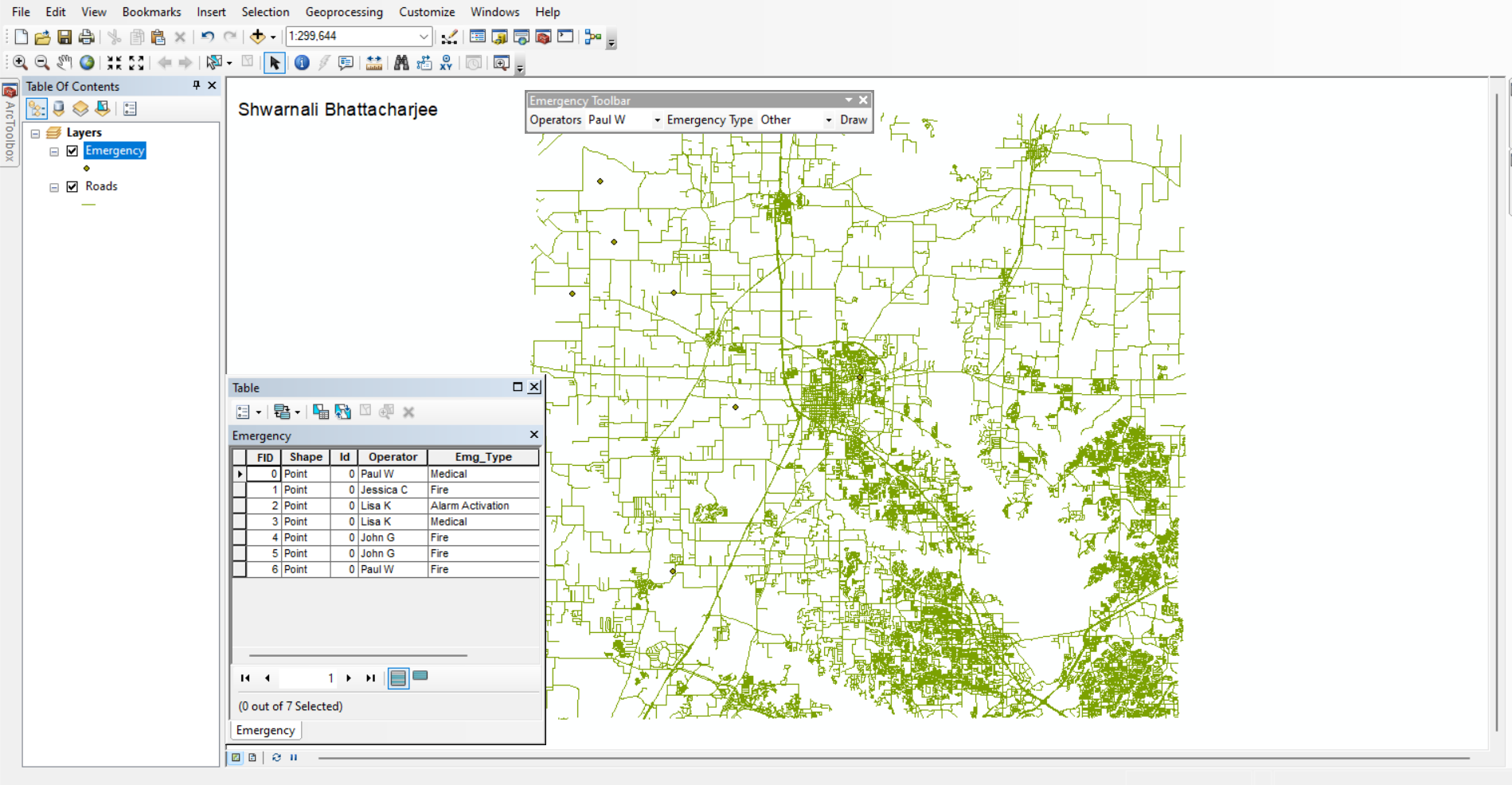
As a part of GIS programming project, I had the opportunity to develop a Python add-in that has the potential to significantly improve emergency response efforts. This add-in features a simple and intuitive toolbar that includes two combo boxes and a “Draw” tool.
The first combo box allows the user to select one of four operators: "Jessica C", "John G", "Lisa K", or "Paul W". The second combo box allows the user to choose from four emergency types: "Alarm Activation", "Fire", "Medical", or "Other". Once the user has made these selections, they can use the “Draw” tool to quickly and easily mark the location of the emergency on the map using a plus cursor.
Importantly, this add-in also includes an automatic save function, which ensures that the location and attributes of the emergency are saved to a point shapefile in real time. This functionality can be a critical asset for emergency response teams, providing them with accurate and up-to-date information about the location and nature of any emergencies in their area.