Project information
- Category: Web App
- Project date: March, 2023
- Tools Used: ArcGIS Pro (Public Transit Toolbox, Network Analyst), ArcGIS Online, Instant App
- Web App URL: Instant Web App
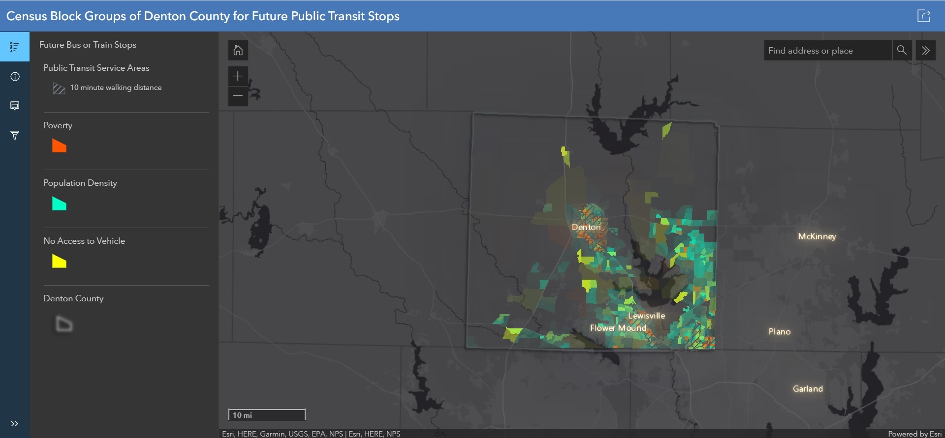
The main objective of this instant app is to facilitate Denton County Transportation Authority (DCTA) for determining future bus or rail stops. Therefore, public transit service areas have been delineated firstly based on 10-minute walking distance toward bus or rail stops. To achieve this, Public Transit Network dataset has been developed using DCTA's and DART's GTFS data.
Finally, Census Block groups of Denton County has been enriched with attributes such total population, below poverty level households incomes and households' access to vehicle which work as factors to determine the future stops. These factors visualize with transparency to target those block groups which have significant impact. Later, public transit service areas have been masked to display block groups that do not have any access with public transit services within 10-minute walking distance.